

-
Email when available


OS Explorer / Dunfermline, Kircaldy
Ordnance Survey Explorer maps use a smaller 1:25,000 scale to provide unrivalled levels of detail – so you’ve only got yourself to blame if you get lost! Don’t try pinning it on the compass either…
Full topographic mapping displays elevation contours at every 5m, or every 10 metres for upland areas, allowing pinpoint navigation. This makes Explorer maps ideal for activities like hillwalking, hiking, mountaineering, trail running and mountain biking.
Route planning is made easy with rights of way markers for footpaths, bridleways and byways, plus symbols for campsites, youth hostels and other services.
Explorer 367 covers Dunfermline, Kirkcaldy and Glenrothes South, including the Fife Coastal Path, Tayside, Grangemouth and INverkeithing.
Features
Key Features
- Detailed 1:25K mapping for navigation and route planning
- Topographic contours every 5m (or 10m in upland areas) to identify landscape features
- All rights of way, footpaths, bridleways, byways and tracks marked
- Symbols for local landmarks (pubs, campsites, youth hostels etc.)
- Includes a mobile map download code
- Unlimited battery life
- 3 Year Alpine Bond
Vital stats
Scale
1:25,000
4cm to 1km / 2.5 inches to 1 mile
Dimensions
240mm x 135mm
Origin: United Kingdom
You may also like
-
Email when available


-
Email when available
Works Well With
-
Email when available
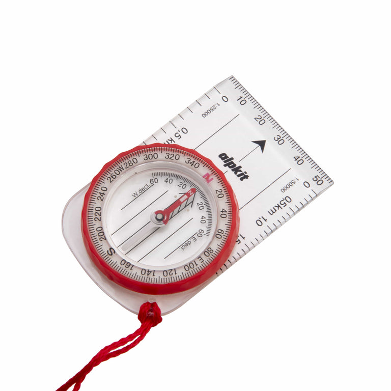
Williams Hillmaster Compass
-
Email when available

Delivery is free over $99.
All duties and import charges are covered by Alpkit on products of UK origin. This includes the 10% universal import duty and
reciprocal tariffs, announced on the 11th April 2025. Customers who wish to proceed with a purchase can contact us directly via email at support@alpkit.com
to obtain a delivered price, inclusive of all applicable tariffs.