
-
Email when available

Harvey National Trails: West Highland Way
$24.99
This map covers all 95 miles (153km) of the West Highland Way. This Scottish Great Trail journeys from Milngavie, near Glasgow, to Fort William through some of Scotland's most spectacular scenery.
The Harvey National Trail maps are lightweight, waterproof and tear-resistant maps in a 1:40,000 scale. Less than half the weight of laminated maps, they've been designed specifically for walkers with a simplified mapping based on original air surveys. This makes them clear and easy to read with only the features you need on the hill.
As well as covering the whole long distance trail, the West Highland Way map includes: an introduction to the route; tips on weather and clothing; information on accommodation, camping and food; and shows available facilities in nearby towns and villages.
Features
Key Features
- Printed on waterproof and tear-resistant polyethylene
- Covers the entire Scottish Great Trail on one lightweight map
- Simplified mapping provides only the details you need for walking
- Less than half the weight of a laminated map
- Opens easily to any section without unfolding the whole map
- Introduction to the route and tips on weather and clothing
- Information on finding accommodation, camping, food
- Shows facilities available in towns and villages
- 3 Year Alpine Bond
Vital stats
Map scale
1:40,000
Ratio
2.5cm = 1km
Map size folded
116 x 243mm
Map size flat
696 x 486mm
Weight
35g
Origin: UK
You may also like
-
Email when available
-
Email when available
Works Well With
-
Email when available
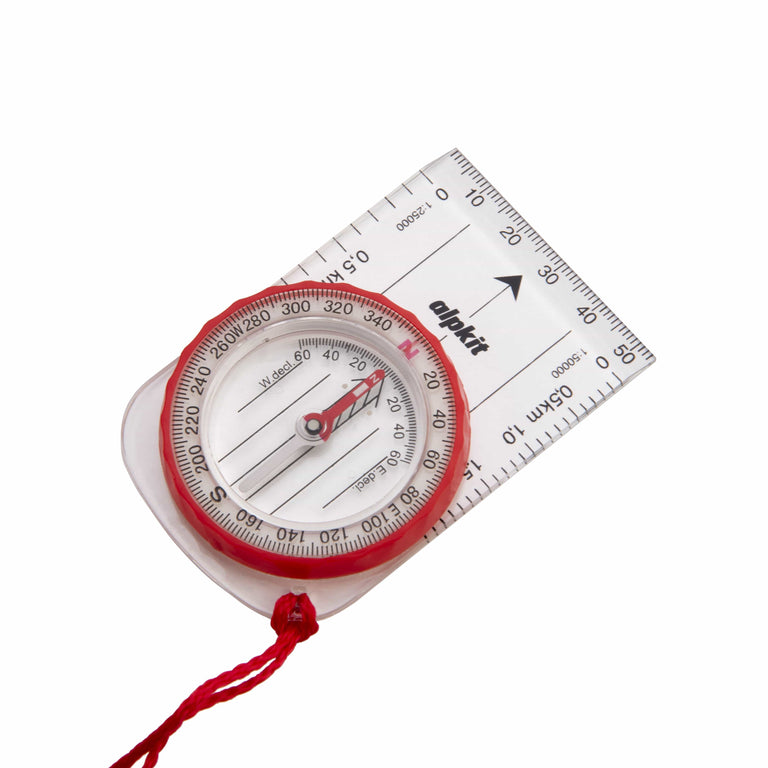
Williams Hillmaster Compass
-
Email when available

Delivery is free over $99.
All duties and import charges are covered by Alpkit on products of UK origin. This includes the 10% universal import duty and
reciprocal tariffs, announced on the 11th April 2025. Customers who wish to proceed with a purchase can contact us directly via email at support@alpkit.com
to obtain a delivered price, inclusive of all applicable tariffs.