
-
Email when available


OS Landranger / Tobermory & North Mull 1:50,000 os map
$14.99
Ordnance Survey Landranger maps use a 1:50,000 scale to cover wide areas (40km by 40km) with a high level of detail.
With a map for every part of Great Britain and its surrounding isles, Landrangers are perfect for planning holidays, backpacking trips and bike rides. “What’s that perfectly circular trail over there? Oh… that’s a tea ring…”
Route planning is made easy with rights of way markers for footpaths, bridleways and byways, plus symbols for campsites, youth hostels and other services. And full topographic mapping allows you to orientate yourself within the landscape.
Landranger 47 covers the northern section of the Isle of Mull, the Isle of Ulva and the Ardnamurchan peninsula.
Details
Ordnance Survey Landranger maps use a 1:50,000 scale to cover wide areas (40km by 40km) with a high level of detail.
With a map for every part of Great Britain and its surrounding isles, Landrangers are perfect for planning holidays, backpacking trips and bike rides. “What’s that perfectly circular trail over there? Oh… that’s a tea ring…”
Route planning is made easy with rights of way markers for footpaths, bridleways and byways, plus symbols for campsites, youth hostels and other services. And full topographic mapping allows you to orientate yourself within the landscape.
Landranger 47 covers the northern section of the Isle of Mull, the Isle of Ulva and the Ardnamurchan peninsula.
Features
Key Features
- Large scale 1:50K mapping covers a large area for route planning
- All footpaths, bridleways, byways and tracks marked
- Symbols for local landmarks (pubs, campsites, youth hostels etc.)
- Topographic contours to identify landscape features
- Includes a mobile map download code
- Unlimited battery life
- 3 Year Alpine Bond
Vital stats
Scale
1:50,000
2cm to 1km / 1.25 inches to 1 mile
Dimensions
230mm x 135mm
Origin: United Kingdom
You may also like
-
New


Works Well With
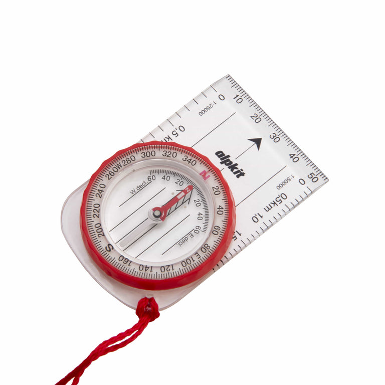
Williams Hillmaster Compass
-
Email when available
Delivery is free over $99.
All duties and import charges are covered by Alpkit on products of UK origin. This includes the 10% universal import duty and
reciprocal tariffs, announced on the 11th April 2025. Customers who wish to proceed with a purchase can contact us directly via email at support@alpkit.com
to obtain a delivered price, inclusive of all applicable tariffs.