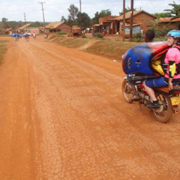
Buke Ethiopia Gidabo Descent: Mountain biking adventures in Ethiopia's rugged terrain.
So the British Universities expedition to Ethiopia were in high spirits after completing the first descent of a river called the Kola, first paddling a class three section followed by a lovely 10km bridge to bridge section of continuous class 3/4 and after some permit banter decided to make a more ambitious plan.
The Plan:
Wake up to find a lovely sunny day.
Drive to the Gidabo, a very promising river dropping an average of 20m/km for 25km through a big gorge, to find a perfect medium waterlevel.
Paddle a 20km first descent gorge section of awesome class 4/5 whitewater.
Float leisurely down about 5km of flatwater meandering through vegetation to meet our driver and guide at the takeout in time for tea.
It was a lovely simple plan.
What actually happened:
We were woken by thunderous tropical rain throughout the night, and crawled out of bed in the morning to find a day on the damper side of sunny.
We drove to the river to find a promisingly not floodstage waterlevel.
Deciding it was good to go we jumped on and paddled 15km of awesome class 4/5 whitewater. Ear to ear grins were the order of the day as we proceeded smoothly and swiftly down what we all decided was some of the best paddling of its style we had ever done. The gorge was spectacular with untamed jungle and impressive cliffs towering above us. To our relief the crowds of people that had set the scene on the Kola, variably waving smiling and shouting; running away screaming and crossing themselves or (least desirably) throwing sizable rocks from high above, disappeared. With beautiful black and white colobus monkeys leaping overhead and only one straightforward portage round a scary 25ft waterfall our plan was developing well, the rapids were easing and we felt we must be getting close to the flatwater at the end of the river.

So, somewhat peskily, instead of petering out to flatwater as was dictated by the Russians and The Plan the river started picking up some significant gradient again. We found ourselves picking our way through some great class 4/4+ rapids characterised by huge boulders (and enough siphons to force concentration). Soon we found ourselves on the lip of a giant class 5+ boulder-jumble rapid and late in the day this was a clear portage for the team. On a scale of 1 to vertical the gorge walls were quite up there and exactly how to portage was a lot less clear. John and Jamie opted to gain a scary eddy above the lip of this beast and check whether access was possible along the left bank. Luckily it was and after one by one safely making the eddy some classic expedition jungle portaging ensued. A peek over the next horizon reluctantly concluded that the score was Google 1 : 0 Russia.
A few hours, lots of portaging, 3 swims (under trees and rocks), one paddle and some scary kayaking later we were running out of day in which to paddle. The Plan was starting to go awry.
We decided with limited daylight left and no sign of the borderline unrunnable whitewater relenting we had to call it a day and spend a night in the gorge. We found a decent footpath leading out of the gorge and pitched camp halfway up, with a troop of baboons surveying us from the opposite cliff face. Dinner was 375g of noodles and a tin of tuna shared between 5 and breakfast was a multipack snickers bar chopped into 5 pieces. Between these much enjoyed luxuries a cold and bitey night was endured, albeit in a stunning location.

Soon enough we came to a vertical gorge wall and were faced with the decision to hike a long way up and over or run a tricky rapid down and round a corner in the hope the river flattened. Sick of portaging we rounded the corner to find glorious flatwater. John in high spirits and oblivious of the high chance of encountering crocs and hippos forged ahead while the rest crowded together tapping our kayaks.
At this point it would be proper to add a little more information divined upon us by Google maps. The satellite imagery showed the river disappearing slightly worryingly into a few km’s of swamp before the takeout but we had decided that there should be paddleable channels of water through the swamp.

At 5pm we broke free of the swamp and hauled kayaks up and out of the steepsided valley carved by the river. The cold Ethiopian equivalent of Fanta Orange brought to us by our (very worried) guide was possibly the best thing ever apart from maybe a helpful Ethiopian man with a rifle who carried our kayaks the last few hundred metres to the our trusty Landrover for 100 Birr.
As a kayaker I am usually against dam projects, however we all welcome with open arms the proposed dam at the bottom of the Gidabo, replacing the last 5km of the river with a lake would, in our eyes, be no bad thing.
Callum
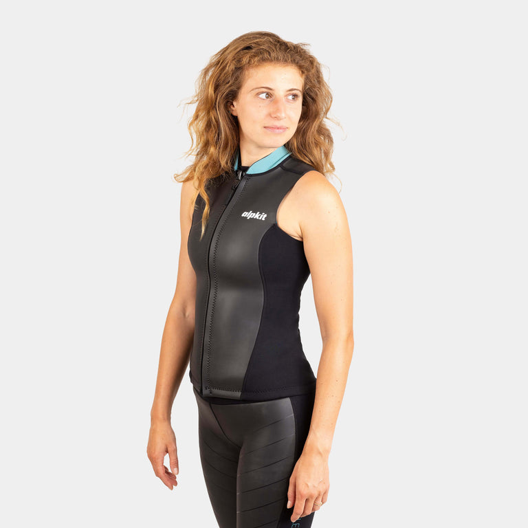
![Element Wetsuit Vest [Womens]](http://us.alpkit.com/cdn/shop/files/element-womens-vest-shorts-ecom-1_1528bae7-f3c8-4428-8269-460923ac64da.jpg?v=1717528304&width=768)
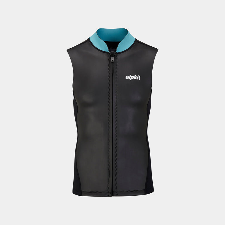
![Element Wetsuit Vest [Mens]](http://us.alpkit.com/cdn/shop/files/element-mens-vest-shorts-ecom-2_bed513c4-b564-4446-856d-d889f90f885e.jpg?v=1717528287&width=768)
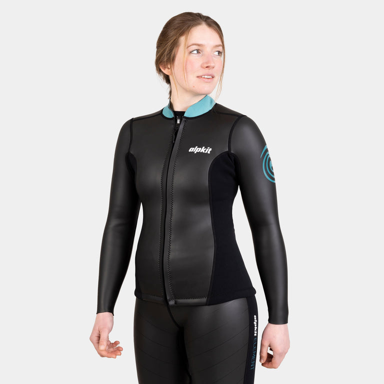
![Element Wetsuit Jacket [Womens]](http://us.alpkit.com/cdn/shop/files/element-womens-jacket-pants-ecom-2.jpg?v=1717528203&width=768)
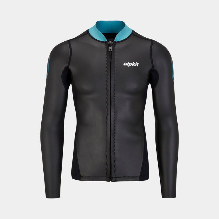
![Element Wetsuit Jacket [Mens]](http://us.alpkit.com/cdn/shop/files/element-mens-jacket-pants-ecom-2.jpg?v=1717528185&width=768)
![Element Wetsuit Shorts [Womens]](http://us.alpkit.com/cdn/shop/files/womens-element-shorts.jpg?v=1717528269&width=768)
![Element Wetsuit Shorts [Womens]](http://us.alpkit.com/cdn/shop/files/element-womens-vest-shorts-ecom-1.jpg?v=1717528269&width=768)
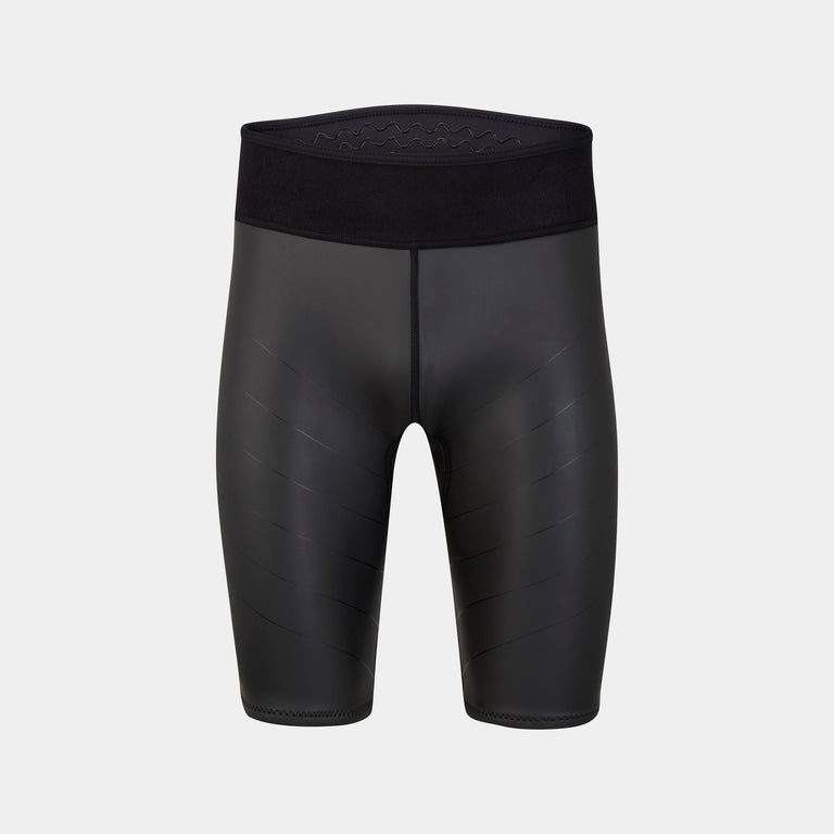
![Element Wetsuit Shorts [Mens]](http://us.alpkit.com/cdn/shop/files/element-mens-vest-shorts-ecom-2.jpg?v=1717528256&width=768)
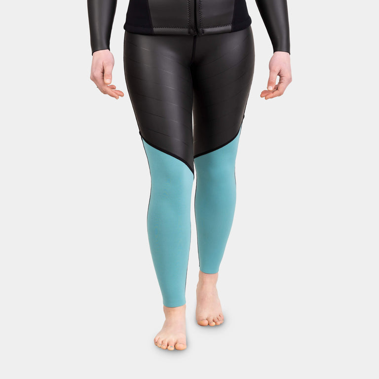
![Element Wetsuit Pants [Womens]](http://us.alpkit.com/cdn/shop/files/element-womens-jacket-pants-ecom-2_255d3f4a-410d-4d32-a657-6d9bab5b0d2d.jpg?v=1717528239&width=768)
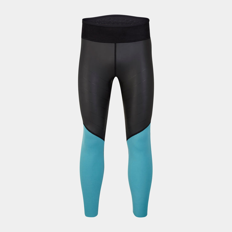
![Element Wetsuit Pants [Mens]](http://us.alpkit.com/cdn/shop/files/element-mens-jacket-pants-ecom-2_38dbf092-f607-4bbd-bd7a-0477da29bcef.jpg?v=1717528220&width=768)
